When is sargassum season in Florida?
Miami Beach at the height of the season: a band of sargassum along the Atlantic shoreline. Florida's two coasts behave very differently, with the Gulf side staying largely clear.
The short answer: which coast you visit matters as much as the time of year. Florida is reached by the same Great Atlantic Sargassum Belt that also affects the Mexican Caribbean, but its two coasts are affected very differently. The Atlantic side sees the great majority of the seaweed, while the Gulf side is largely spared. Both the coast you choose and the season you travel in will shape your experience.
The short version
On Florida's Atlantic coast (Miami, Fort Lauderdale, the Palm Beaches and, most of all, the Florida Keys) the heaviest sargassum season typically runs from around May through August, occasionally lingering into September. Volumes are often somewhat lighter than the worst stretches of the Riviera Maya or Punta Cana, because much of the belt's densest biomass accumulates across the eastern Caribbean before the current carries what remains toward Florida. In a strong year, however, the Keys and the southeast can still be heavily affected. The timing is broadly similar throughout, since both regions are fed by the same Atlantic belt.
Florida's Gulf coast (Tampa Bay, Sarasota, Naples and the Panhandle) sits outside the belt's path and stays largely clear year-round. This is the single most useful fact for planning a Florida beach trip.
Important: every year is different, and conditions can swing week to week even in peak season. Treat this article as a guideline, not a guarantee, and always confirm with the live forecast and the Florida beach map close to your trip.
The affected coast: the Atlantic side and the Keys
Because the seaweed drifts in from the east, it is Florida's Atlantic-facing beaches that bear the brunt, from the Florida Keys in the south to Jacksonville in the north. The impact intensifies the further south you travel. The Florida Keys are the most exposed of all, sitting directly in the path of water carried up from the Caribbean: Smathers Beach in Key West, Key Colony Beach and Bahia Honda can see thick mats along the shore at the height of the season. On the mainland, southeast Florida is next in line. This is the most heavily affected stretch of the state, and the famous Miami Beach shoreline, including South Beach and Mid-Beach, is among the worst hit, with substantial accumulations arriving through the peak months. Immediately to the north, Hollywood Beach, Pompano Beach, Deerfield Beach and the Delray and Boynton stretch of the Palm Beaches are also regularly affected.
How the sargassum actually reaches Florida
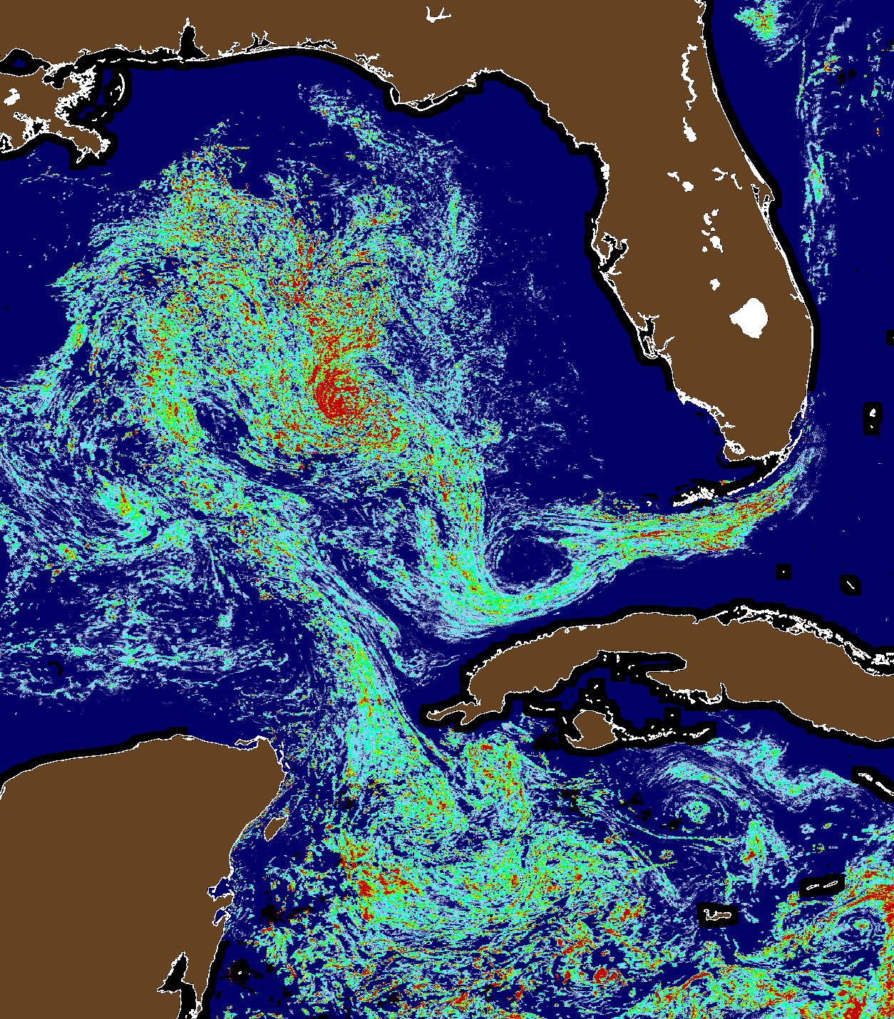
It is worth understanding the pathway, because it explains why one coast is hit and the other is spared. The Great Atlantic Sargassum Belt sits in the tropical Atlantic, but the bulk of it does not strike Florida head-on from the east. It first drifts west with the North Equatorial Current into the Caribbean Sea, then pushes into the Gulf of Mexico through the Yucatán Channel, passing directly by Cancún and the Mexican Caribbean. From there the Loop Current makes a tight clockwise turn and flushes the seaweed back out through the Florida Straits, between the Keys and Cuba, where the Gulf Stream picks it up and carries it north along Florida's Atlantic shoreline.
This is the reason the currents never really deliver sargassum to the west coast. The Loop Current is a fast, narrow conveyor that enters and exits the Gulf without sweeping across to Tampa, Sarasota or Naples, so Florida's Gulf beaches sit off to the side of the flow and stay clear. Once the water exits the Straits, the Gulf Stream hugs the east coast and runs northward, dropping seaweed onto Miami, Fort Lauderdale and, in a lighter form, the beaches further up toward Jacksonville. A smaller share does arrive more directly from the open Atlantic across the Bahamas onto the southeast coast, but the Caribbean-to-Straits loop is the primary conveyor. In short, the seaweed threads between the Keys and Cuba and is carried up the Atlantic side, while the west-facing Gulf coast is protected precisely because it lies outside the current's path.
The Gulf coast: Florida's reliably clear shoreline
Florida's Gulf coast is the dependable choice for clear water. Because it faces west, away from the Atlantic belt, beaches such as Clearwater Beach, St. Pete Beach and Anna Maria Island around Tampa Bay, Siesta Key and Sanibel Island near Sarasota, and Naples and Marco Island to the south see sargassum only rarely. The Panhandle beaches, including Destin, Pensacola Beach and Panama City Beach, are cleaner still. If a seaweed-free beach is your priority and you are flexible on location, the Gulf coast is the safest bet in any month.
The two coasts also simply feel different. The Gulf shore is defined by remarkably fine, pale sand, at Siesta Key it is almost pure quartz that stays cool underfoot, alongside calm, shallow, gently shelving water that turns from clear turquoise to the vivid emerald green of the Panhandle. With little swell for much of the year, it suits families, swimmers and slow beach days. The Atlantic side, by contrast, has coarser, more golden sand, deeper water and noticeably stronger surf and currents, giving it a livelier, more energetic character that appeals to surfers and walkers, but which also allows incoming sargassum to wash ashore more readily.
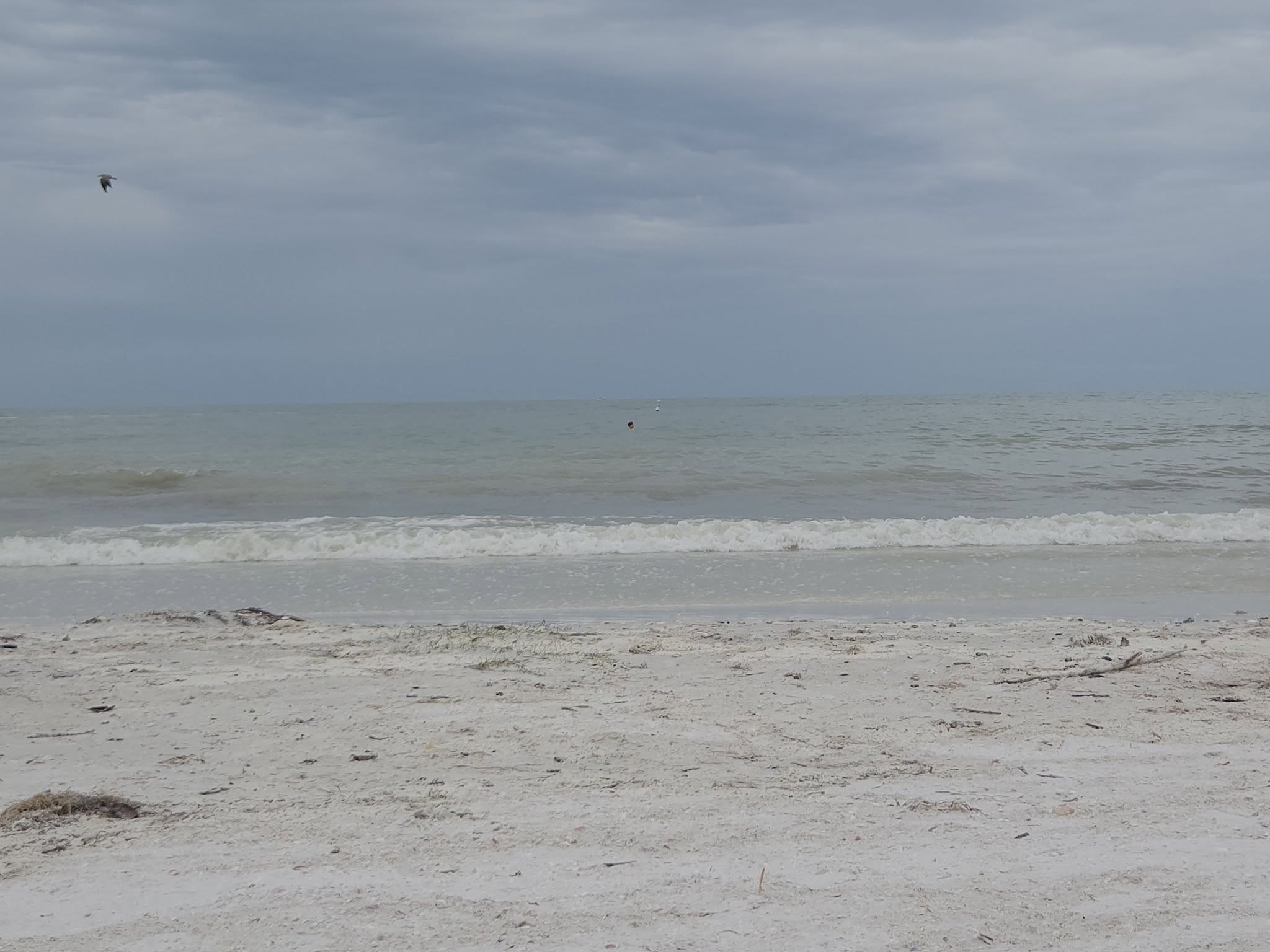
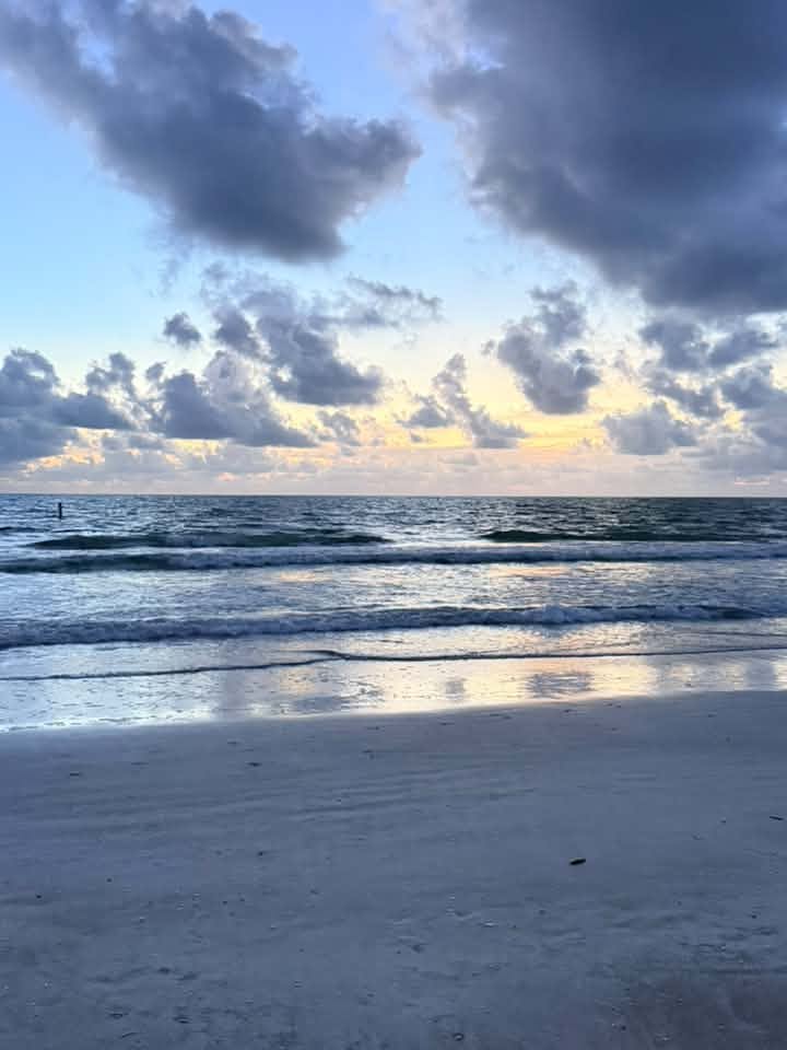
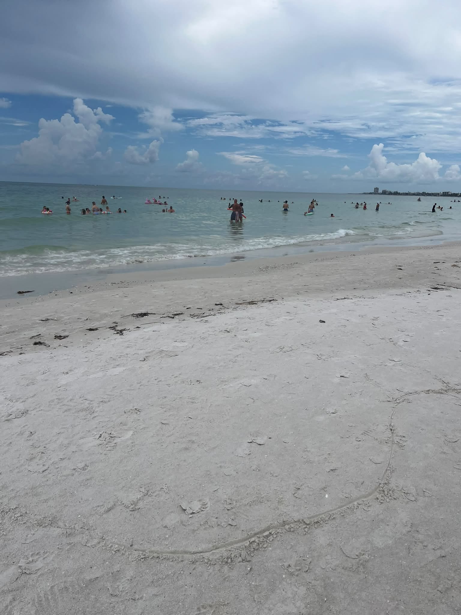
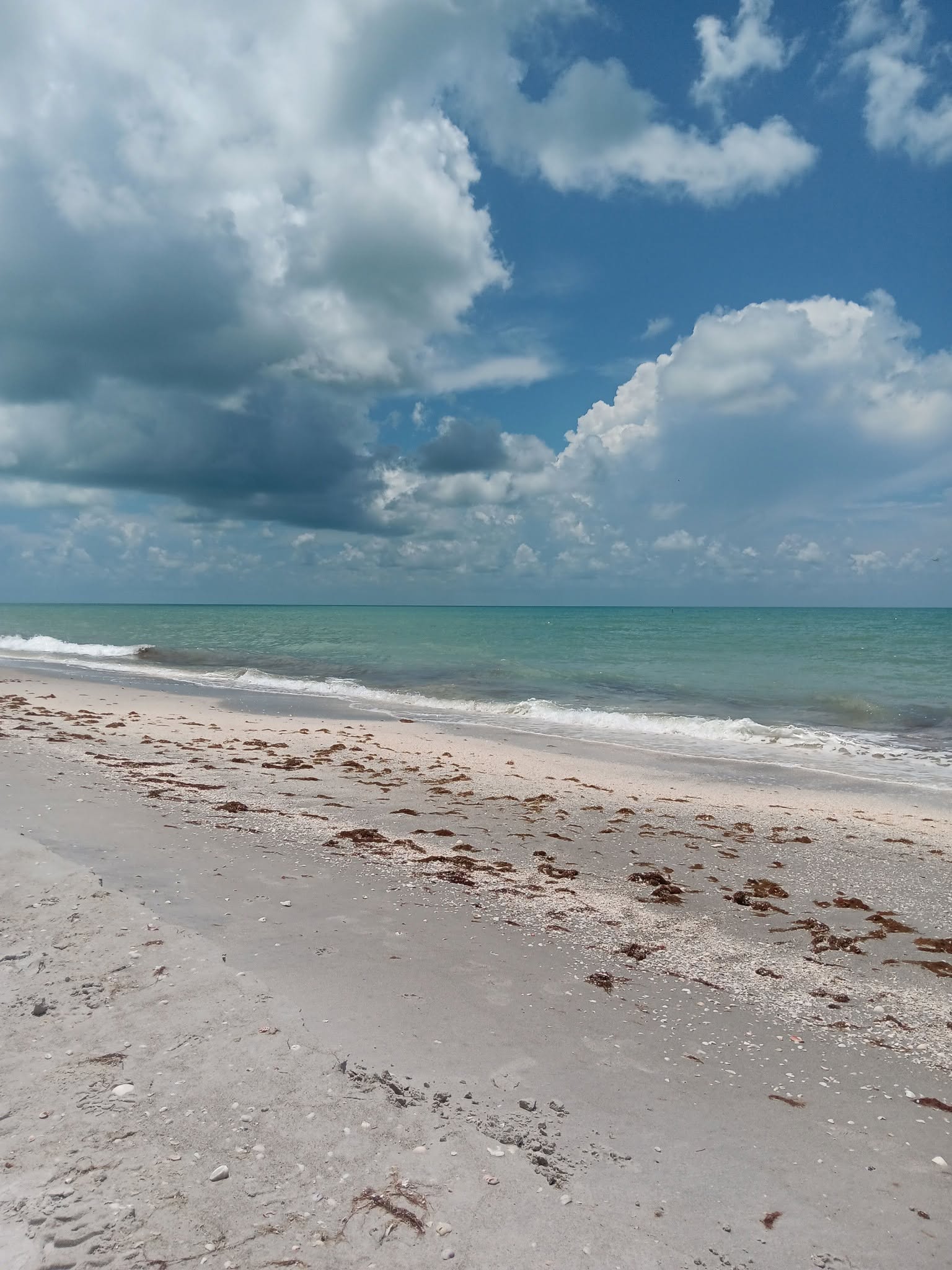
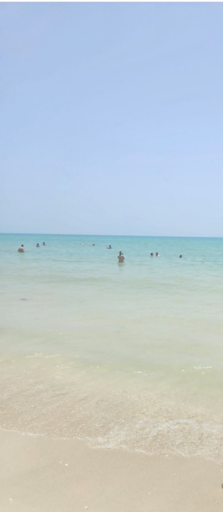
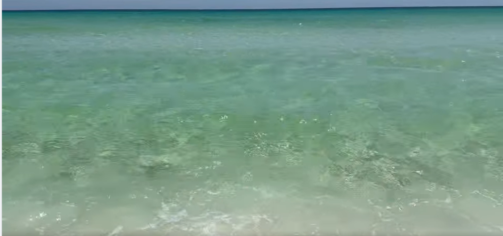
As you can see across our live beach camera section, many of these Gulf beaches are consistently sargassum-free or show only traces: the Naples Pier and Sanibel Island cameras, among others, regularly show clear water and clean sand even at the height of the season on the opposite coast.
 LIVEFort Myers Beach
 LIVESt. Pete Beach
 LIVESiesta Key
 LIVESanibel Island
 LIVENaples
 LIVEDestin · 30A
Recent views from our Gulf-coast beach cameras, clear water and clean sand.
See all 39 live cameras →Two other regions tend to fare comparatively well: the Space Coast around Cocoa Beach and Cape Canaveral, and Northeast Florida from Daytona Beach up to Amelia Island. These upper-east-coast beaches are still Atlantic-facing and can be affected at times, particularly in a heavy year, but they consistently see far less than southeast Florida and the Keys.
Month by month: a planning summary
In Florida, not all coasts receive the same quantity of sargassum, and the amounts are highly dependent on sea currents. The summary below should help travellers make well-informed decisions. The months that follow apply to the Atlantic coast and the Keys; the Gulf coast stays largely clear throughout.
December – February · usually the clearest
The calmest stretch, and it overlaps with Florida's most pleasant dry-season weather. Sargassum is generally at its lowest even on the Atlantic side. If you want clear water on the east coast, this is the safest window.
March – April · the season builds
The first meaningful arrivals usually begin, felt earliest in the Keys and the far southeast. Early March can still be excellent; by April the rafts tend to increase on exposed shores.
May – August · typically the peak
This is when the Atlantic belt is usually at its largest and currents push the most seaweed toward the Keys and southeast Florida. Cities and resorts run active cleaning, but volumes can be high at the waterline. It can still be a good time to travel if you choose location carefully: the Gulf coast stays clear, and even on the Atlantic side the Space Coast and Northeast Florida are usually lighter.
September – October · easing, but variable
Often the tail of the heavy season. Some years calm down noticeably; others stay busy into the autumn. Conditions can shift week to week.
November · the recovery
Things generally trend back toward clear, and by late November most Atlantic beaches are returning to their best.
How to plan around it
- Choose your coast first. The Gulf side is the most reliable clear-water option in Florida, in almost any month.
- Pick your window on the Atlantic side. If you have your heart set on the east coast or the Keys, winter and spring maximise your chance of clear water.
- Check close to your trip. A forecast in March means little for July. Look again in the days before you go.
- Have a backup beach. Conditions vary considerably over short distances, so a flexible plan beats a fixed one. On the worst days a southeast beach can be overwhelmed while another a few miles away is fine, which is why planning around the daily outlook matters more than any fixed itinerary.
Travelling soon? Open the Forecast page for the daily satellite outlook, then use the Florida beach map to find clear water near where you're staying.